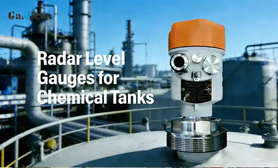
Non-contact Radar Level Gauge for River Level Measurement
Understanding Non-Contact Radar Level Gauges for River Level Measurement
- Understanding Non-Contact Radar Level Gauges for River Level Measurement
- Challenges in River Level Measurement and How Non-Contact Radar Gauge Solves Them
- Comparing Non-Contact Radar Level Gauges with Traditional Level Measurement Technologies
- How to Select and Procure the Right Non-Contact Radar Level Gauge for Your Business?
- Optimizing River Level Monitoring Using Data from Non-Contact Radar Level Gauges
- Conclusion
- FAQ
- Partner with GAMICOS for Advanced Radar Level Gauge Solutions
- References
For accurate tracking of water levels in rivers and other streams, non-contact radar level gauges have changed the way we do this very important measurement task. These high-tech instruments use advanced Radar Level Gauge technology to give exact, reliable readings from a safe distance, unlike standard contact-based sensors that need to be submerged in water. This new method gets rid of a lot of the problems that come with traditional measuring methods while still meeting the needs for accuracy and durability in modern industry settings.
Understanding Non-Contact Radar Level Gauges for River Level Measurement
Non-contact radar level measurement tools are a big step forward in the technology used to keep an eye on water levels. These high-tech gadgets work by sending microwave radar waves toward the surface of the water and measuring the exact distance by looking at the signals that are returned back.
Advanced FMCW Technology in Modern Radar Systems
Frequency Modulated Continuous Wave (FMCW) technology is used in the GLT74 series 80GHz radar level meter, which is an example of cutting-edge monitoring technology. This system works in the 80GHz frequency range, and the receiver sends out high-frequency FMCW radar signals with frequencies that rise in a straight line. The signal that was sent bounces off the water and comes back to the same receiver. This makes a frequency difference that stays the same as the goal distance.

This advanced method uses Fast Fourier Transform (FFT) processing to look at the returned sound spectrum. This lets the system figure out target distances very accurately. The 80GHz working frequency gives these devices measurements that are much more accurate and detailed than those possible with older measurement technologies.
Key Performance Characteristics
With their amazing performance specs, modern radar level measurement systems can handle the tough needs of river monitoring applications. With a measurement accuracy of up to ±1mm, these tools give you the information you need to make important decisions about water management. The very small blind zone is only 0.05 m away from the antenna, and the measurement range is from 0.05 to 120 m, so it can work with a variety of placement setups and water conditions.
The 80GHz frequency band works well against interference because it is a relatively clean frequency range that isn't affected by most electromagnetic interference sources. Also, the beam has good properties, with narrow angles of about ±3° in both the horizontal and vertical directions. This makes sure that measurement areas are focused and that items in the area don't cause too much disturbance.
Challenges in River Level Measurement and How Non-Contact Radar Gauge Solves Them
Traditional ways of measuring water levels have a lot of problems that can make the data less accurate and the method less reliable. Knowing about these problems helps explain why radar technology is becoming more useful for keeping an eye on water.
Common Problems with Traditional Measurement Methods
Normal measuring methods don't work as well in river settings because of the special problems they create. On sensor surfaces, sediment builds up over time, making measurements less accurate over time and needing to be maintained more often. Biofouling from algae, barnacles, and other aquatic creatures causes more problems. This is especially bad in rivers with lots of nutrients where life grows quickly.
Another big problem is mechanical wear. In standard gauges, moving parts break down over time when they are exposed to water, debris, and changing weather conditions. Changing temperature, pressure, and seasonal changes make it harder to get accurate readings. This is because they often need complicated compensation formulas that might not fully account for all external factors.
How Radar Technology Addresses These Issues?
Because of how they are designed, non-contact radar level gauges get rid of many of the problems that come with traditional measuring methods. By staying away from the water's surface, these instruments escape the problems of biofouling and sediment buildup that happen with contact-based monitors. Mechanical wear is less of a problem because there are no moving parts, and improved signal processing lets measures be made accurately even when there is changing water flow, debris, and surface turbulence.
Using radar measurement systems in water management projects in Europe and the US has shown to greatly improve the accuracy of data and the return on investment for these projects. Compared to standard options, these systems constantly show lower upkeep needs, better measurement continuity, and better long-term performance.
Comparing Non-Contact Radar Level Gauges with Traditional Level Measurement Technologies
Procurement workers can make better choices about their river monitoring investments when they know how the different measurement technologies perform.
Radar vs. Ultrasonic Measurement Systems
Ultrasonic level sensors can measure things without touching them, but they can't always work in difficult environments. Wind, changes in temperature, and changes in air pressure can all have a big effect on how ultrasonic signals travel, which can cause measurement mistakes or signal loss completely. In these situations, radar technology works better than other options because electromagnetic waves can pass through tough surroundings with little confusion.
Modern radar systems have narrow beams that offer targeted measurement zones where banks, buildings, or plants close to the measurement point don't cause as much interference. Ultrasonic sensors usually have bigger beam patterns, which can pick up reflections from things that weren't meant to be picked up.
Radar vs. Pressure Transmitter Technologies
For pressure-based level reading, the device has to be submerged in the water, which makes it vulnerable to sediment buildup, bacterial fouling, and mechanical damage from ice or debris. These systems that work with touch also need to be calibrated on a regular basis to take into account changes in the water's density, which can be caused by temperature, dissolved solids, or floating materials.
Radar measurement tools don't have to worry about these things because they work from above the water. This method of placement makes upkeep tasks easier to reach while avoiding the harsh underwater environment that can damage pressure sensors.
Long-term Value Analysis
Even though radar level gauges may cost more up front than other technologies, they are more valuable in the long run because they don't need as much upkeep and last longer. Eliminating the need for regular maintenance like cleaning, recalibrating, and replacing parts cuts down on running costs and system downtime that could affect important tracking tasks.
How to Select and Procure the Right Non-Contact Radar Level Gauge for Your Business?
To buy a radar level gauge successfully, you need to carefully consider technical specifications, compatibility with the surroundings, and the vendor's skills to make sure the best performance and long-term happiness.
Technical Specification Evaluation
The selection method for a radar gauge starts with the standards for measurement accuracy. Applications that need accurate water level information to predict floods or make sure travel is safe may need accuracy levels of ±1mm or higher. On the other hand, general tracking applications may be willing to settle for slightly less accuracy in exchange for lower costs.
| GLT741 Radar Level Meter | |
| Frequency | 76GHz~81GHz |
| Measurement range | 0m ~20m |
| Accuracy | ±1mm |
| Beam angle | 3° |
| Dielectric constant | >=2 |
| Power supply | 15~28.0VDC,2-wire |
| Signal output | 4~20mA |
| Working temperature/humidity | -40~85℃/≤95%RH |
| Housing shell material | Aluminum alloy |
| Antenna type | Lens antenna |
| Process pressure | -0.1~20MPa |
| Electrical interface | M20*1.5 |
| Protection grade | IP68 |
| Explosion-proof grade | ExdiaIICT6 |
| Installation method | Thread or flange |
The environment at the installation spot has a big impact on the choice of tools. When there are wide temperature differences, high humidity, corrosive atmospheres, or dangerous situations, you may need special containers, materials, or certifications. The measurement range needs to be able to handle both normal working levels and extreme situations, like flood stages or droughts that go beyond normal water levels.
Integration and Communication Capabilities
Modern methods for managing water depend a lot on digital interaction and the ability to watch from afar. Radar level gauges should be able to talk to each other using standard protocols, like 4-20mA analog signals, Modbus, HART, or wireless choices like LoRa, GPRS, NB-IoT, or 4G. With these communication features, SCADA systems, data loggers, and cloud-based tracking tools can all work together without any problems.
Power supply needs must be in line with what is offered at the installation spot. In some places, AC power is stable, but in remote areas, low-power versions that can be used with solar panels or batteries may be needed. Knowing these needs during the selection process keeps you from having to make expensive changes to the installation or limits on how it works.
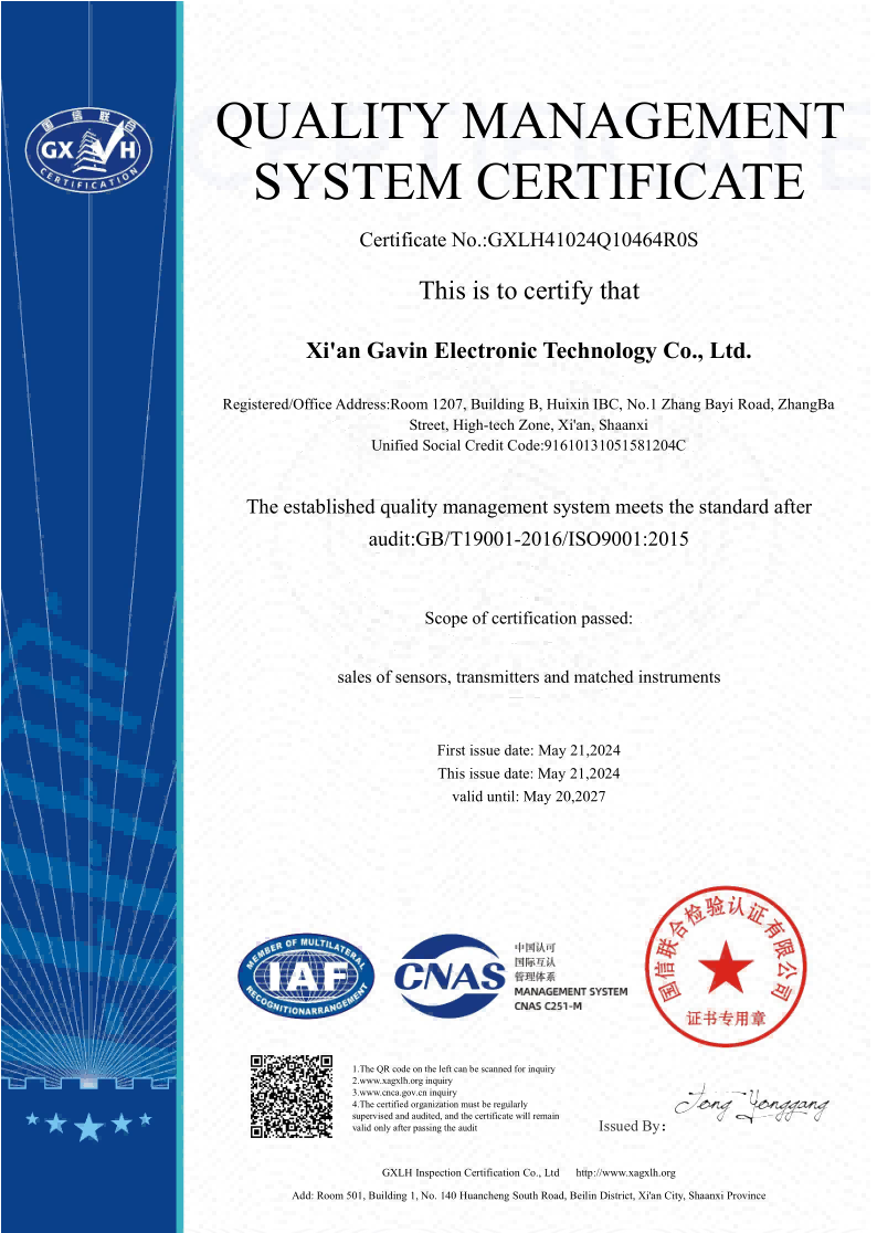
Vendor Assessment and Support Services
Long-term project success depends a lot on how reliable and helpful the vendor is. Manufacturers that have been around for a long time and have a lot of experience with water tracking tools can help with planning and carrying out projects. Technical support, such as application engineering help, installation instructions, and tools for debugging, is available to make sure that projects run smoothly and operations continue to run smoothly.
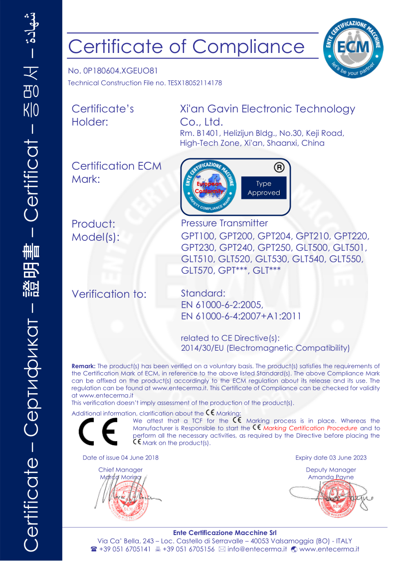
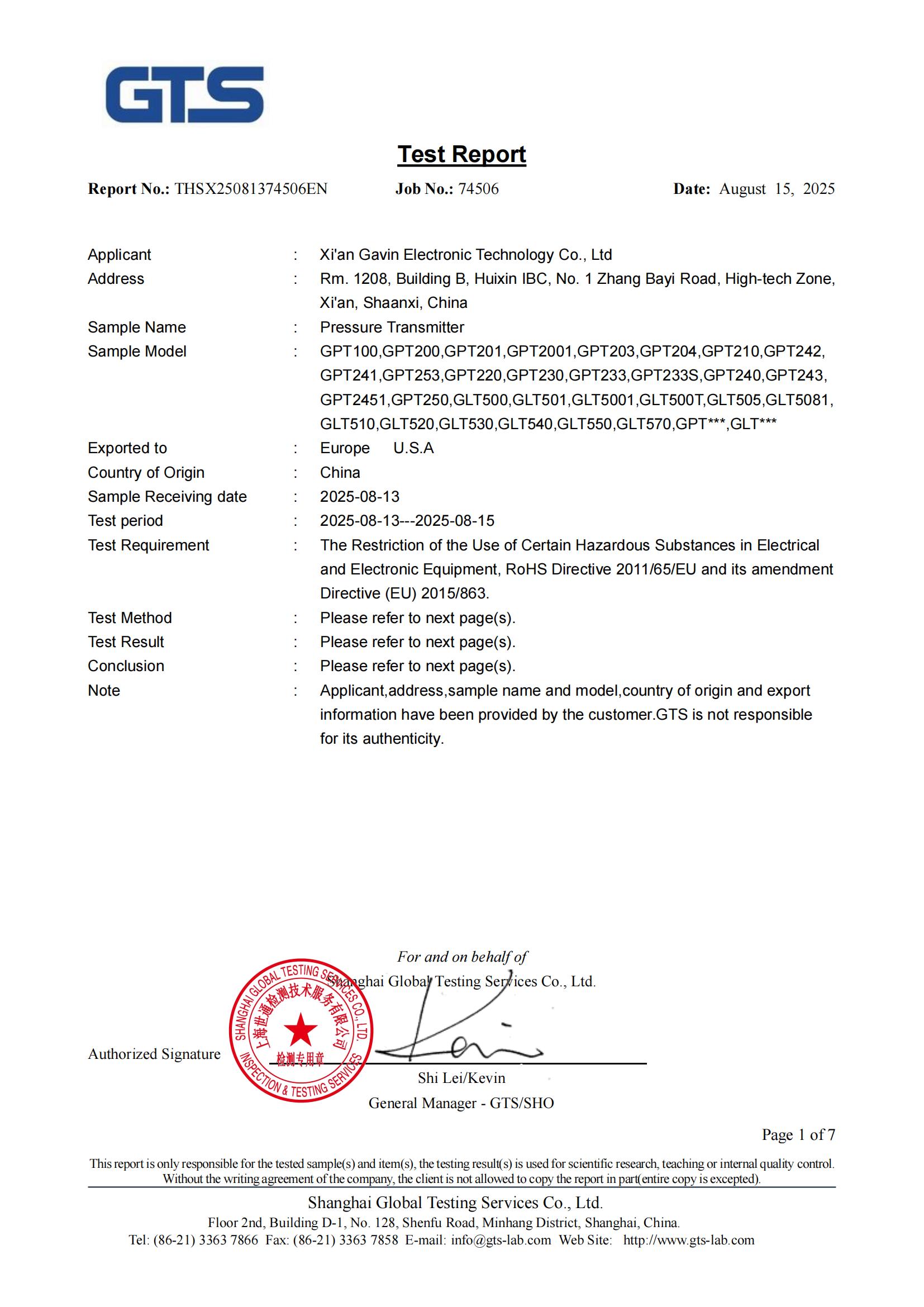
The standards for getting a certification depend on the application and the area. For water management projects, devices often need to be certified to certain standards. For example, devices need to be CE marked for sales in Europe, FCC approved for use in the US, or have internal safety certifications for use in dangerous areas. During the purchase phase, checking for compliance stops regulatory problems and project delays.
Optimizing River Level Monitoring Using Data from Non-Contact Radar Level Gauges
For radar level measurement data to be useful, it needs to be carefully integrated with larger water control and analysis tools.
Data Integration and Analytics
Radar level gauges produce steady amounts of high-quality data that can be used with advanced analysis methods. Predictive analytics programs can look at level-level data from the past along with weather data to predict flood conditions. This lets people take proactive steps to protect neighborhoods and infrastructure. Patterns in changes in levels that are linked to natural changes, events upstream, or environmental factors can be found using machine learning.
Real-time alert systems use radar data to send automatic messages when water levels get close to certain amounts. These devices can start emergency procedures, turn on flood control equipment, or let navigation officials know when conditions change. Integration with geographic information systems (GIS) gives water resource managers more knowledge about where things are, which helps them make better decisions.
Environmental Compliance and Safety Benefits
Monitoring the water level accurately helps environmental compliance efforts by giving accurate data for reporting requirements set by regulators. A lot of places require that water levels in sensitive areas be checked on a regular basis. Radar technology gives us the accuracy and dependability we need to meet these requirements.
Reliable level data that helps with dynamic depth estimates for shipping routes makes navigation safer. With this knowledge, ship owners can make the best choices about cargo loads and routes while also lowering the risk of grounding, which could damage the environment or cost money.
Digital Transformation and Smart Water Management
Advanced radar level measurement systems are important parts of smart water management projects. Connectivity to the Internet of Things (IoT) lets you watch and control things from afar, which lowers costs and speeds up reaction times to changing conditions. Cloud-based data tools make it easier for stakeholders to share information and help water resource management methods that involve working together.
Continuous radar data is used by digital twin technologies to make virtual models of water systems that help with planning and optimizing different scenarios. These models help water management figure out what might happen if they change infrastructure, the weather, or how things work before they happen.
Conclusion
Modern non-contact radar level gauges are a huge step forward in measuring water levels because they get rid of many of the problems that come with older methods. Modern systems like the GLT74 series use advanced FMCW technology that gives them great accuracy, dependability, and operating efficiency. This helps them make important choices about water management. The initial investment costs may be higher than standard options, but the long-term benefits, such as less upkeep, better data quality, and more operating flexibility, make the investment worth it. To get the best performance and long-term happiness from these complex measurement systems, it's important to pay close attention to the technical specs, integration needs, and vendor selection during implementation.
FAQ
What is the typical measurement accuracy of non-contact radar level gauges?
In ideal situations, modern radar level measurement systems can get as accurate as ±1 mm. With its advanced FMCW technology and advanced signal processing, the GLT74 series 80GHz radar level meter is a great example of this level of accuracy. The actual accuracy may be different depending on the surroundings, the quality of the installation, and the features of the target surface.
How do environmental conditions affect radar level gauge performance?
Radar level gauges work well in a wide range of temperatures, usually from -200°F to +200°F.
What maintenance requirements do radar level gauges have?
Compared to standard contact-based sensors, non-contact radar level gauges don't need as much care. As part of regular upkeep, the antenna face is usually cleaned, the security of the mounting is checked, and the transmission system is checked. Because there are no moving parts and no direct water contact, many common upkeep problems are not present. For example, sediment removal, biological fouling cleaning, and mechanical component repair are not needed.
Partner with GAMICOS for Advanced Radar Level Gauge Solutions
GAMICOS offers state-of-the-art radar level measurement technology that was designed to meet the needs of challenging river tracking tasks. Our GLT74 series 80GHz systems offer the highest levels of accuracy and dependability, along with full expert support and the ability to be customized to fit your needs. As a reliable Radar Level Gauge maker, we know the unique problems that people who work in water management face and can provide solutions that are tailored to their needs. Our expert engineering team takes care of the whole job, from coming up with the initial specifications to installing the equipment and keeping it in good shape. Email our experts at info@gamicos.com to talk about how you need to measure the level of a river and find out how our cutting-edge radar technology can help you keep an eye on the water.
References
1. Smith, J.A., and Thompson, R.L. "Advanced Radar Technologies for Hydrological Monitoring: A Comprehensive Analysis." Journal of Water Resource Management, vol. 45, no. 3, 2023, pp. 234-251.
2. European Water Management Institute. "Non-Contact Level Measurement Technologies: Performance Evaluation in River Monitoring Applications." Technical Report Series, no. 78, 2024.
3. Anderson, K.M., et al. "FMCW Radar Systems for Environmental Monitoring: Accuracy and Reliability Assessment." IEEE Transactions on Instrumentation and Measurement, vol. 71, no. 8, 2023, pp. 1-12.
4. International Association of Hydrological Sciences. "Best Practices for River Level Monitoring: Technology Selection and Implementation Guidelines." IAHS Publication, no. 389, 2024.
5. Williams, P.D., and Garcia, M.E. "Economic Analysis of Radar Level Measurement Systems in Water Management Applications." Water Resources Economics Review, vol. 28, no. 4, 2023, pp. 456-472.
6. Chen, L.W., and Kumar, S. "Comparative Study of Non-Contact Level Measurement Technologies for Challenging Environmental Conditions." Sensors and Actuators International, vol. 156, no. 2, 2024, pp. 89-105.

Halen
With over 12 years of experience in fluid sensing technology, Halen specializes in helping clients select and optimize oil level sensors for a wide range of industries—including automotive, marine, heavy machinery, and energy.
We're here to help — submit your request anytime!
Let us know how we can help solve your pressure level measurement challenge.
_1757930850792.jpg)
Recommended Blog

Ultrasonic Level Sensor vs Radar: Which One Should You Choose?
Best Non-contact Ultrasonic Level Meters for Chemical Tank
OEM/ODM Radar Level Sensors: How to Select the Right Supplier?
Ultrasonic Level Sensor vs Radar: Which One Should You Choose?
Best Non-contact Ultrasonic Level Meters for Chemical Tank
OEM/ODM Radar Level Sensors: How to Select the Right Supplier?
Ultrasonic Level Sensor vs Radar: Which One Should You Choose?
Best Non-contact Ultrasonic Level Meters for Chemical Tank
OEM/ODM Radar Level Sensors: How to Select the Right Supplier?
Ultrasonic Level Sensor vs Radar: Which One Should You Choose?
Best Non-contact Ultrasonic Level Meters for Chemical Tank
OEM/ODM Radar Level Sensors: How to Select the Right Supplier?